
Mid-Atlantic Water Use Workshop
Agenda and Presentations
Monday - April 19
Mat Pajerowski - USGS MD-DE-DC WSC
Welcomes, Introductions, and Background
Eric Evenson - USGS Coordinator Water for America
A National Water Census
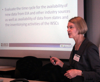
Molly Maupin - USGS National Water-Use Information Program
Climate Initiative: Irrigation Water Use
Susan Hutson - USGS National Water-Use Information Program
Climate Initiative: Thermoelectric Power Water Use
Pete McLaughlin - Delaware Geological Survey
Geologic framework and groundwater resources of the confined aquifers of southern Delaware Kent and Sussex DE
John Grace - Maryland Department of the Environment
Diversity of Water Use in Maryland
Jonathan Smith - USGS Program Coordinator Geographic Analysis and Monitoring Program
USGS Geographic Research in the Chesapeake Bay Watershed
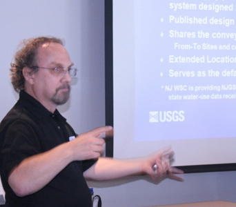
Steve Tessler - USGS NJ WSC
The Structure of Water-Use Databases
Todd Augenstein - USGS National Water Information System Design and Development Unit
Overview of the Water-Use Software Components of the National Water Information System
Marilee Horn - USGS NH WSC
Integrating State Databases to Serve Water Management: Focusing on Conveyances
Steven Domber - New Jersey Geological Survey
The New Jersey Water Tracking Model: Identifying Trends, Quantifying Availability, and Managing the Resource.
Tuesday - April 20
Andrew Dehoff - Susquehanna River Basin Commission
Consumptive Use Water Management Program in the Susquehanna River Basin
Susan Hutson - USGS, University of Memphis GW Institute
Consumptive Water Use in the Tennessee N River Watershed
Jonathan Kennen - USGS NJ WSC
Approaches to Environmental Flow: Water Use and Modeling Flow-Ecology Response Relations
Stacey Archfield - USGS MA WSC
Balancing Water Use and Ecological-Flow Needs: A Decision-Support Tool to Interactively Assess Water Availability at Ungaged Sites in Massachusetts
Jason Pope - USGS VA WSC
Private Domestic-Well Characteristics and the Distribution of Domestic Withdrawals among Aquifers in the Virginia Coastal Plain
Betzy Reyes - USGS MD-DE-DC WSC
Use of Regression Models to Estimate Per Capita Water Demand in Maryland Counties Impacted by U.S. Department of Defense Base Realignment and Closure (BRAC) Activities
Mark Nardi - USGS MD-DE-DC WSC
Use of GIS Methods to Map and Understand Domestic Water Demand in Counties Impacted by U.S. Department of Defense Base Realignment and Closure (BRAC) Activities
