Water Science for Maryland, Delaware and the District of Columbia
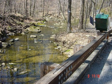
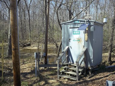
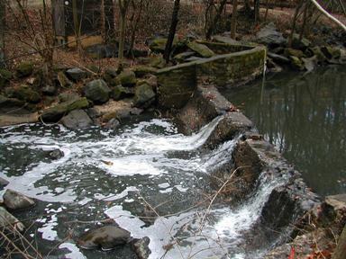
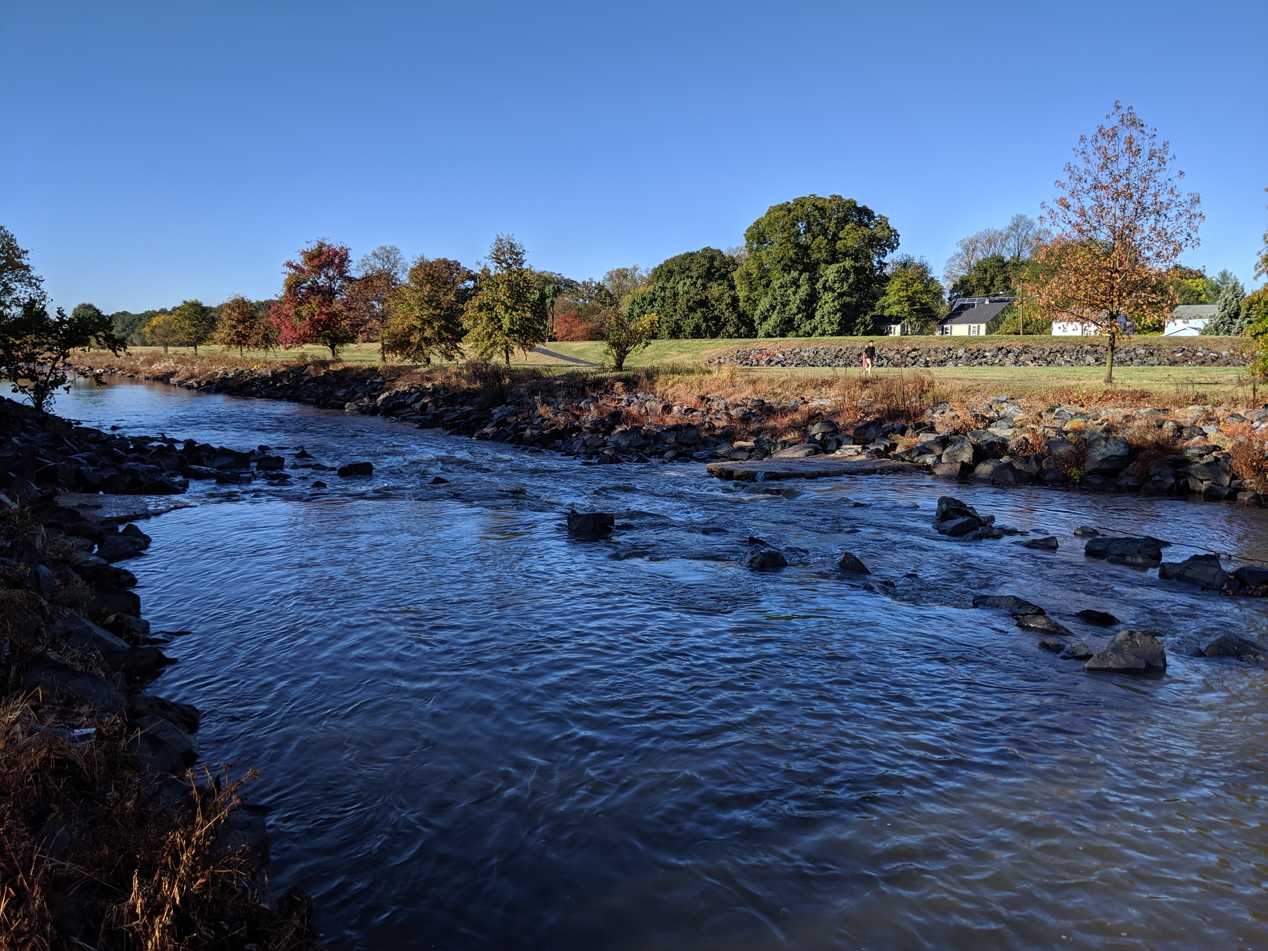
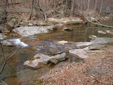
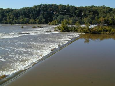
USGS Water Quality DataUSGS conducts water quality monitoring on rivers in Maryland, Delaware, and the District of Columbia, using USGS protocols that include ultra-clean techniques and a strong attention to data accuracy and precision. Chemical and biological constituents include nutrients, trace metals, bacteria, suspended sediment, major ions, and organic wastewater compounds such as pharmaceuticals, personal-care products, and industrial compounds. For selected sites, continuous data sets exist for up to 35 years. USGS specializes in continuous water quality monitoring for physical conditions including water temperature, pH, dissolved oxygen, conductivity, and turbidity. New technology has enhanced realtime-data collection with measurements of nitrate and fluorescent dissolved organic matter (FDOM). USGS conducts investigative studies that combine discrete and continuous water quality data to model stream processes and impacts from land use and climate change. Continuous data are also used to compute and assess status, trends, yields, and loads for nutrients and sediment. These data can be evaluated to rapidly alert public-water suppliers of events that may adversely affect water supplies. To learn more about USGS water quality investigations, visit the USGS Water Quality Team's homepage. Water Quality Monitoring Site LocationsYou can browse a clickable map at the bottom of the page. The map below shows the locations of USGS water-quality sites in Maryland, Delaware, and Washington, D.C. To view information about a water-quality site, click on one of the water quality monitoring stations, represented as a yellow pentagon, on the map. The location of surface water monitoring stations and suspended sediment monitoring stations are represented as circles and triangles respectively on the map for reference, but are not currently clickable for more information. | |

USGS 03076500 YOUGHIOGHENY RIVER AT FRIENDSVILLE, MD
Drainage area: 295 square miles
Continuous parameters: Discharge, gage height, water temperature Project manager: Matt Baker Contact information: smbaker@usgs.gov; (301) 687-0919, ext. 15 Click here to view the Current Stream Conditions website. USGS 01579550 SUSQUEHANNA RIVER NEAR DARLINGTON, MD
Drainage area: 27,300 square miles
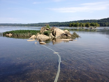
Continuous parameters: Water temperature, specific conductance, pH, turbidity, dissolved oxygen, colored dissolved organic matter (CDOM), nitrate plus nitrite (NO3+NO2) Project manager: Joel Blomquist Contact information: jdblomqu@usgs.gov; (443) 498-5560 Click here to view the Current Stream Conditions website. USGS 01578310 SUSQUEHANNA RIVER AT CONOWINGO, MD
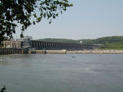
Drainage area: 27,100 square miles Discrete water-quality data: Nutrients, pesticides, major ions, suspended sediment Project manager: Brenda Majedi Contact information: blfeit@usgs.gov; 443-498-5527 USGS 01581752 PLUMTREE RUN NEAR BEL AIR, MD
Drainage area: 2.5 square miles
Continuous parameters Discharge, gage height, water temperature, specific conductance, turbidity Discrete water-quality data: Nutrients, E. coli bacteria, dissolved organic carbon, suspended sediment Project manager: Brenda Majedi Contact information: blfeit@usgs.gov, 443-498-5527 USGS 01493112 CHESTERVILLE BRANCH NEAR CRUMPTON, MD
Drainage area: 6.12 square miles
Parameters: Continuous water-quality Discrete water-quality data: Nutrients, major ions, isotopes, suspended sediment Project manager: Judith Denver Contact information: jmdenver@usgs.gov; 302-734-2506, extension 229 Click here to view the Current Stream Conditions website. USGS 01491000 CHOPTANK RIVER NEAR GREENSBORO, MD
Drainage area: 113 square miles
Parameters: Continuous water-quality Discrete water-quality data: Nutrients, major ions, suspended sediment Project manager: Brenda Majedi Contact information: blfeit@usgs.gov; 443-498-5527 Click here to view the Current Stream Conditions website. USGS 01658000 MATTAWOMAN CREEK NEAR POMONKEY, MD
Drainage area: 54.8 square miles Parameters: Gage height, discharge Discrete water-quality data: Nutrients, suspended sediment Project manager: Brenda Majedi Contact information: blfeit@usgs.gov; 443-498-5527 USGS 01650800 SLIGO CREEK NEAR TAKOMA PARK, MD
Drainage area: 6.45 square miles
Continuous parameters: Gage height, discharge, water temperature, pH, specific conductance, dissolved oxygen, turbidity Discrete water-quality data: Nutrients, chlorides, E. coli bacteria, suspended sediment Project manager: Brenda Majedi Contact information: blfeit@usgs.gov; 443-498-5527 USGS 01649500 NORTHEAST BRANCH ANACOSTIA RIVER AT RIVERDALE, MD
Drainage area: 72.8 square miles
Continuous parameters Gage height, discharge, water temperature, pH, specific conductance, dissolved oxygen, turbidity Discrete water-quality data: Nutrients, chlorides, E. coli bacteria, suspended sediment Project manager: Brenda Majedi Contact information: blfeit@usgs.gov; 443-498-5527 USGS 01649190 PAINT BRANCH NEAR COLLEGE PARK, MD
Drainage area: 13.1 square miles
Continuous parameters Discharge, gage height, water temperature, pH, specific conductance, dissolved oxygen, turbidity Discrete water-quality data: Nutrients, chloride, E. coli bacteria, suspended sediment Project manager: Brenda Majedi Contact information: blfeit@usgs.gov; 443-498-5527 USGS 01646500 POTOMAC RIVER NEAR WASHINGTON, D.C. LITTLE FALLS PUMPING STATION
Drainage area: 11,560 square miles
Continuous parameters Discharge, gage height, water temperature [7.1 ft from riverbed (top)], water temperature [4.1 ft from riverbed (middle)], water temperature [1.0 ft from riverbed (bottom)], specific conductance, NO3+NO2 in water, Chlorophyll, CDOM, turbidity Project manager: Joseph Bell Contact information: jmbell@usgs.gov; 443-498-5567 USGS 01648010 ROCK CREEK AT JOYCE RD, MD
Drainage area: 63.7 square miles
Continuous parameters Gage height, discharge, water temperature, pH, specific conductance, dissolved oxygen, turbidity Discrete water-quality data: Nutrients, trace metals, E. coli bacteria, suspended sediment Project manager: Brenda Majedi Contact information: blfeit@usgs.gov; 443-498-5527 Click here to view the Current Stream Conditions website.
USGS 01651770 HICKEY RUN AT NATIONAL ARBORETUM IN WASHINGTON, D.C.
Drainage area: 0.99 square miles
Continuous parameters Gage height, discharge, water temperature, specific conductance, turbidity Discrete water-quality data: Nutrients, trace metals, E. coli bacteria, suspended sediment Project manager: Joseph Bell Contact information: jmbell@usgs.gov; 443-498-5567 USGS 01651800 WATTS BRANCH IN WASHINGTON, D.C.
Drainage area: 3.28 square miles
Continuous parameters Gage height, discharge, water temperature, specific conductance, turbidity Discrete water-quality data: Nutrients, trace metals, E. coli bacteria, suspended sediment Project manager: Joseph Bell Contact information: jmbell@usgs.gov; 443-498-5567 USGS 01646580 POTOMAC RIVER AT CHAIN BRIDGE, WASHINGTON, D.C.
Drainage area: 11,570 square miles
Discrete water-quality data: Nutrients, pesticides, major ions, suspended sediment Project manager: Brenda Majedi Contact information: blfeit@usgs.gov; 443-498-5527 USGS 01487150 BUCKS BRANCH NEAR ATLANTA, DE
Drainage area: 1.82 square miles
Continuous parameters: Gage height, water temperature, specific conductance, pH, dissolved oxygen Discrete water-quality data: Nutrients, inorganics, stable isotopes, suspended sediment Project manager: Judith Denver Contact information: jmdenver@usgs.gov; 302-734-2506, extension 229 Click here to view the Current Stream Conditions website. USGS 01594440 PATUXENT RIVER NEAR BOWIE, MD
Drainage area: 348 square miles Continuous parameters: Discharge, gage height Discrete water-quality data: Nutrients, major ions, suspended sediment Project manager: Brenda Majedi Contact information: blfeit@usgs.gov;443-498-5527 USGS 01484525 MILLSBORO POND OUTLET, DE
Drainage area: 61.7 square miles
Continuous parameters: Discharge, gage height, pH, specific conductance, water temperature, dissolved oxygen Project manager: Betzaida Reyes Contact information: breyes@usgs.gov; 302-734-2506, extension 244 Click here to view the Current Stream Conditions website. USGS 01484680 MASSEY DITCH AT MASSEY LANDING, DE
Drainage area: N/A
Continuous parameters: Specific conductance, water temperature, pH, dissolved oxygen Project manager: Betzaida Reyes Contact information: breyes@usgs.gov; 302-734-2506, extension 244 Click here to view the Current Stream Conditions website. USGS 01484080 MURDERKILL RIVER AT FREDERICA, DE
Drainage area: 82.8 square miles
Continuous parameters: Discharge, gage height, stream velocity, water temperature, specific conductance, pH, dissolved oxygen Project manager: Betzaida Reyes Contact information: breyes@usgs.gov; 302-734-2506, extension 244 Click here to view the Current Stream Conditions website. USGS 01483177 APPOQUINIMINK RIVER NEAR ODESSA, DE
Drainage area: N/A
Continuous parameters: Specific conductance, water temperature, pH, dissolved oxygen Project manager: Betzaida Reyes Contact information: breyes@usgs.gov; 302-734-2506, extension 244 Click here to view the Current Stream Conditions website. USGS 01480065 CHRISTINA RIVER AT NEWPORT, DE
Drainage area: N/A
Continuous parameters: Gage height, water temperature, specific conductance, pH, dissolved oxygen Project manager: Betzaida Reyes Contact information: breyes@usgs.gov; 302-734-2506, extension 244 Click here to view the Current Stream Conditions website. USGS 01481500 BRANDYWINE CREEK AT WILMINGTON, DE
Drainage area: 314 square miles
Continuous parameters: Discharge, gage height, water temperature, specific conductance, pH, turbidity, dissolved oxygen Discrete water-quality data: N/A Project manager: Betzaida Reyes Contact information: breyes@usgs.gov; 302-734-2506, extension 244 Click here to view the Current Stream Conditions website. USGS 01596500 SAVAGE RIVER NEAR BARTON, MD
Drainage area: 49.1 square miles
Continuous parameters: Discharge, gage height, water temperature Project manager: Jon Dillow Contact information: jdillow@usgs.gov; 443-498-5524 Click here to view the Current Stream Conditions website. USGS 01595800 NORTH BRANCH POTOMAC RIVER AT BARNUM, WV
Drainage area: 266 square miles
Continuous parameters: Discharge, gage height, water temperature, specific conductance, pH Project manager: Jon Dillow Contact information: jdillow@usgs.gov; 443-498-5524 Click here to view the Current Stream Conditions website. |

![]() U.S. Department of the Interior |
U.S. Geological Survey
U.S. Department of the Interior |
U.S. Geological Survey
URL: https://md.water.usgs.gov/waterdata/index.html
Page Contact Information: webmaster@md.water.usgs.gov
Page Last Modified:
Friday, October 24, 2014
