
Potomac River at Wisconsin Avenue (01647600)
Monitoring the Potomac River Watershed
The USGS operates more than 100 streamgages along the Potomac River and its tributaries, and over 7,600 streamgages across the Nation.
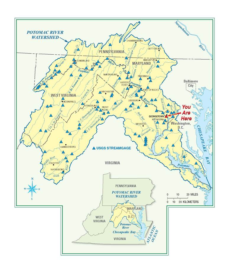
A “watershed” is an area of land from which water drains into a particular body of water. The Potomac River receives its water from an area that covers nearly 15,000 square miles in four states and the District of Columbia. The Potomac River empties into the Chesapeake Bay 112 miles downstream from this site.
If you live or work in the area, you may be one of the nearly 5 million people who receive drinking water from the Potomac River watershed. Monitoring water quantity and quality in the entire watershed is vital, because what happens upstream affects people and the environment downstream.
Contact
U.S. Department of the Interior
U.S. Geological Survey
Wendy S. McPherson (wsmcpher@usgs.gov)
* If you want to receive notification of updates to the water conditions or receive the file, send an email to Wendy S. McPherson at wsmcpher@usgs with the following message: "Send monthly water conditions report."
Maryland-Delaware-D.C. Water Science Center
5522 Research Park Drive
Baltimore MD, 21228
Phone:443-498-5548
