Local Number |
Well Depth |
aquifer |
Period of Record |
| CH Dd 33 | 694 ft |
Upper Patapsco aquifer of the Patapsco Formation of Lower Cretaceous age |
March 1962 to current year |
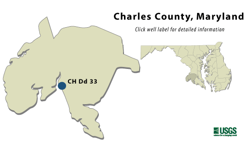
CH Dd 33

NWIS Historical Levels
CH Dd 33 on Groundwater Watch
|
WELL NAME |
CH Dd 33 |
|
SITE ID |
382607077002601 |
|
LOCATION |
Lat
38°26´07",
long 77°00´26",
Hydrologic Unit 02070011, |
|
AQUIFER |
Upper
Patapsco aquifer of the
Patapsco Formation of Lower |
|
INSTRUMENTATION |
Monthly measurements with
chalked steel tape |
|
CHARACTERISTICS |
Drilled, unused, artesian well, depth |
|
DATUM |
Elevation
of land surface is 99.8
ft above sea level. |
|
REMARKS |
Maryland
Water-Level Network observation
well. Water |
PERIOD OF RECORD |
March 1962 to current year. |
EXTREMES FOR RECORD |
Highest water level measured, |
|
COOPERATORS |
Maryland Geological Survey |
|
Download
the data for the entire
period of record for this
well |
|