Streamflow Statistics - Big Elk Creek at Elk Mills, MD (01495000)
Five Year Hydrographs
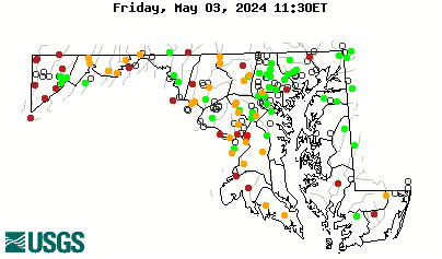
This is a real-time site. Click to view real-time data.
Site Characteristics
| LOCATION |
Latitude 39°39'25.4", Longitude 75°49'20.5" NAD83 Cecil County, Maryland , Hydrologic Unit 02060002 | ||||||||||||||||||||
| DRAINAGE AREA | 52.6 square miles | ||||||||||||||||||||
| GAGE | Datum of gage is 68.69 feet above sea level NGVD29. | ||||||||||||||||||||
| STATION TYPE | Surface Water | ||||||||||||||||||||
| STATION DATA |
|
||||||||||||||||||||
| SITE OPERATION | Site is located in Maryland; record for this site is maintained by the USGS Maryland Water Science Center. | ||||||||||||||||||||
| COOPERATORS | Funding for the operation of this station is provided by the Maryland Department of Natural Resources, and the U.S. Geological Survey. | ||||||||||||||||||||
| CONTACT INFORMATION | Email
questions about this station to: gs-w md_NWISWeb_Data_Inquiries@usgs.gov |
||||||||||||||||||||


