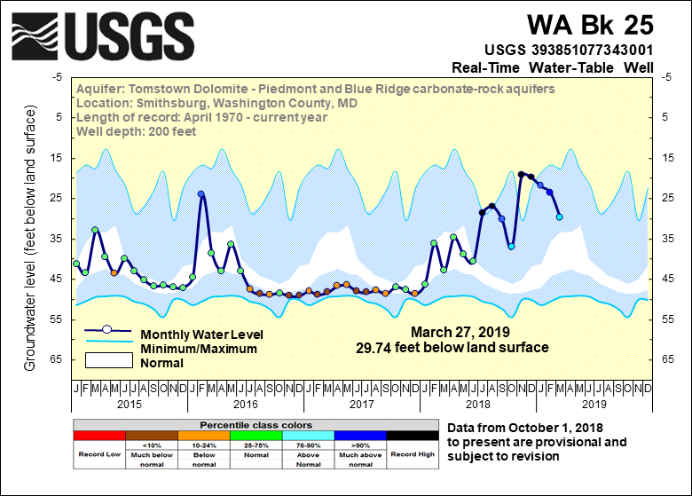
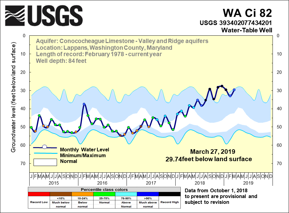
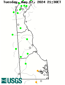
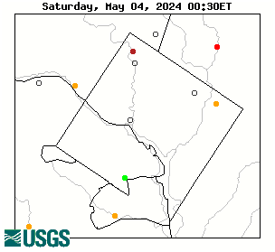
Washington County, Maryland - Observation Well
USGS 393638078001301 WA Be 2
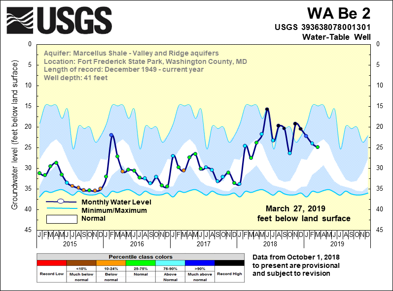
Click here to access historical data for WA Be 2
Click to access WA Be 2 Groundwater Watch page
Click to access available Annual Data Report pages for WA Be 2
Water Science for Maryland, Delaware and the District of Columbia
Click here to access historical data for WA Be 2
Click to access WA Be 2 Groundwater Watch page
Click to access available Annual Data Report pages for WA Be 2
|
|
 |
|
 |
 |
| Get Water Alerts |

![]() U.S. Department of the Interior |
U.S. Geological Survey
U.S. Department of the Interior |
U.S. Geological Survey
URL: http://md.water.usgs.gov/groundwater/web_wells/current/water_table/counties/washington/index.html
Page Contact Information: webmaster@md.water.usgs.gov
Page Last Modified:
Friday, June 02, 2017