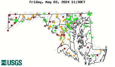
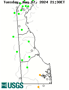
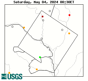
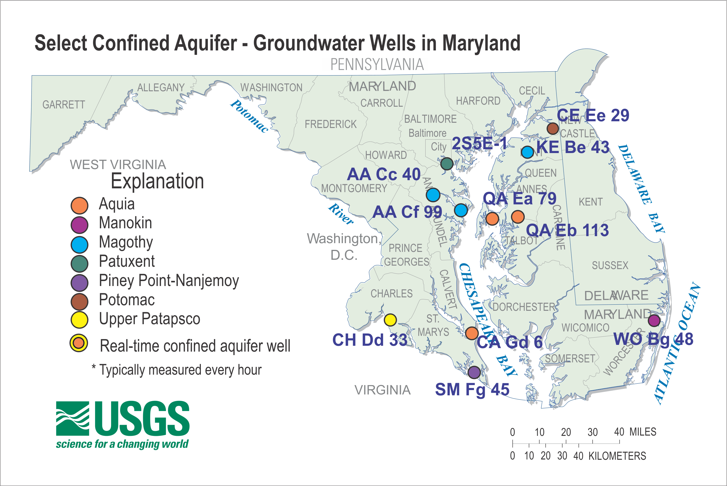
Confined Aquifer Wells
Confined aquifers are aquifers that are overlain by a low permeability, confining layer, often made up of clay. The confining layer may offer some protection from surface contamination. The groundwater below the confining layer is under pressure greater than atmospheric and if penetrated with a well, the water level can rise above the top of the aquifer.
Much of the public water supply in southern Maryland and most of the Delmarva Peninsula, including the Eastern Shore and Delaware, comes from confined aquifers. The primary confined aquifers in Maryland and Delaware from shallowest to deepest include: Manokin, Piney Point, Aquia, Magothy, Patapsco, and Patuxent.
The wells shown on the map are some of the key confined aquifer wells measured by the USGS MD-DE-DC Water Science Center.
For more confined aquifer wells in Calvert County, including real-time, visit this link: https://md.water.usgs.gov/groundwater/calvert/
|
|||||
|
|||||
Maryland Counties
Other Jurisdictions |
|||||