Local Number |
Well Depth |
aquifer |
Period of Record |
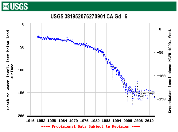
| CA Gd 6 | 493 ft |
Aquia Formation of Upper Paleocene age |
October 1949 to current year |
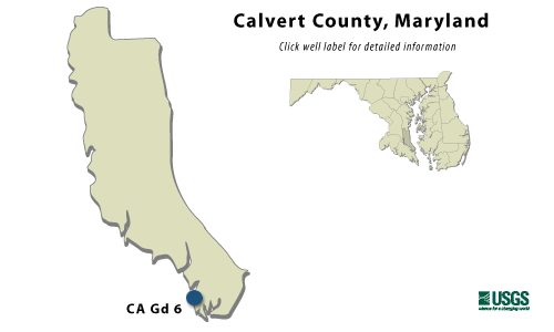
CA Gd 6
|
WELL NAME |
CA Gd 6 |
|
SITE ID |
381952076270901 |
|
LOCATION |
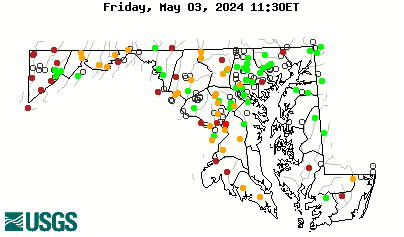
Lat 38°19´52", long 76°27´09", Hydrologic Unit 02060006, at the Lord Calvert Yacht Club, 0.5 mi northeast of Solomons. Owner: Calvert Marina. |
|
AQUIFER |
Aquia Formation of Upper Paleocene age. Aquifer code: 125AQUI. |
|
INSTRUMENTATION |
Monthly measurements with chalked steel tape by U.S. Geological Survey personnel. Equipped with a graphic water-level recorder from Oct. 19, 1949 to Feb. 25, 1960. |
|
CHARACTERISTICS |
Drilled, observation, artesian well, depth 493 ft; casing diameter 8 in., to 272 ft; casing diameter 6 in. from 272 to 472 ft; screened from 472 to 493 ft. |
|
DATUM |
Elevation of land surface is 12.73 ft above sea level. Measuring Point: Top of manhole rim, 6.59 ft above land surface. |
|
REMARKS |
Maryland Water-Level Network observation well. Water level reported at land surface in 1942; water-level measured 58.9 ft below land surface, Jan 13, 1944. Well not measured from April through July 1988 during building construction at well site. On July 18, 1991 the water-level measured 119.93 ft below land surface during an extended pumping period. Water levels are affected by local and regional Groundwater withdrawal. |
|
PERIOD OF RECORD |
October 1949 to current year. |
|
EXTREMES FOR RECORD |
Highest water level measured, 26.15 ft below land surface, May 18 1950; lowest measured, 168.63 ft below land surface, July 20, 1999. |
|
COOPERATORS |
Maryland Geological Survey |
|
Download
the data for the entire
period of record for this
well |
|